Project Gallery
The Gaming Mapper
This map showcases a fun and nostalgic style for each gaming system since the release of the 1st video gaming console (the Magnavox Odyssey in 1972). Poke around and reminisce about your own history of playing video games!
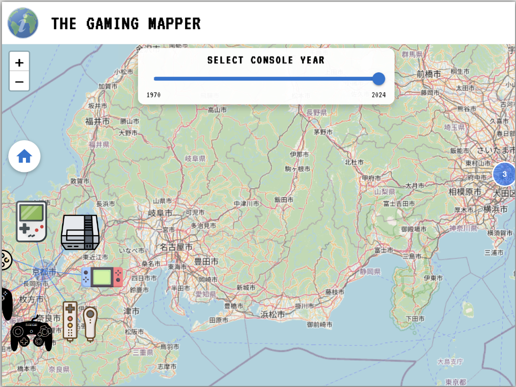
Fully responsive website. Test across any browser or device size.
MyMooder React Native Mobile App
MyMooder aims to help transform an individual’s personal view of “mental health” to “mood awareness.” Individuals will grow in their awareness of how mood is influenced not simply by work stress, family stress, or any number of stresses of humanity, but empower them to visually see over time and space, across activities, people, and weather how their mood fluctuates from negative to positive. With data in hand, individuals can choose to share such information with medical providers, therapists, or find new jobs to better support how one's moods naturally fluctuate.
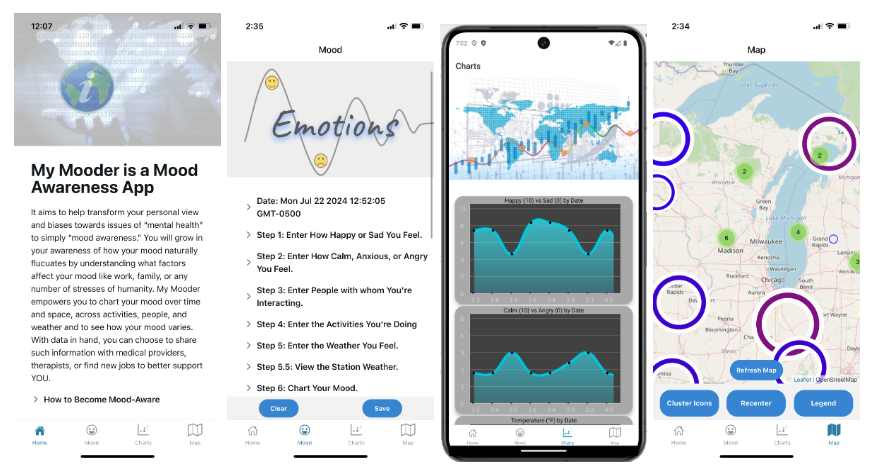
Watch a brief demo. Click to open in a new tab.
Responsive mobile app. Tested on iOS and Android devices.
Demo Fun of Esri's 4.9 JavaScript API Using MapViews, Lat/Long Points, & Map Rotation
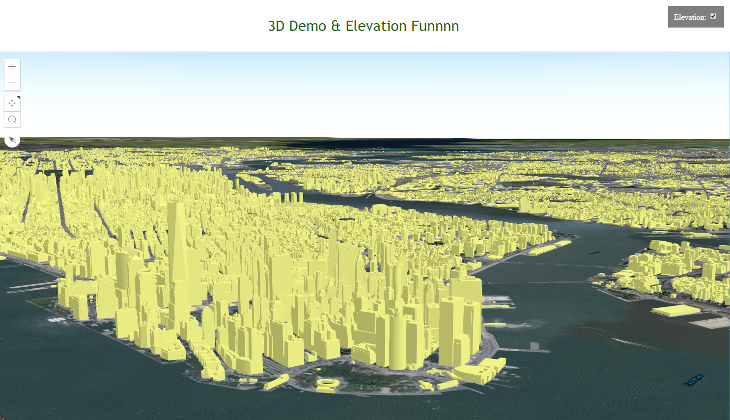
A comparison with the 3D web map for testing 2D map rotation and adding points using Esri's JavaScript 4.9 api for 3D scenes and elevation. Click on the map to make a point and display the click location latitude and longitude.
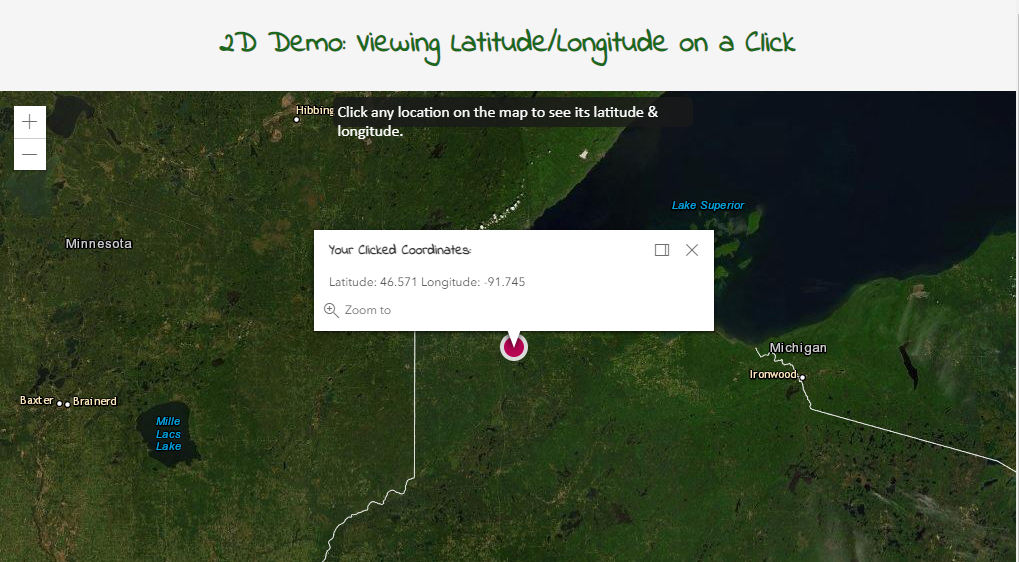
Under Construction!
Google Maps Cycle Routes
An interactive mapping platform built on the JavaScript Google Maps API v3, PostgreSQL backend database, and database calls with Java, JavaScript, jQuery, HTML, and CSS. To get the routing data, we used a custom opensource routing algorithm to create a customized biking route based on biker preference for elevation and Strava and Twitter-based areas-of-interest around Duluth MN. I collaborated with colleagues to build a great app together, which, up until Google changed their licensing from free to paid, worked seemlessly!
Needless to say, if you visit the app, it doesn't work well anymore. Watch the short video on what it used to do. We hope one day to fix it again and consider paying the fees.
See this app in its full glory!
Non-performant until we pay Google to use their geocoding API. Visit the live site to test breaking it!
Python Jupyter Notebook & Tweets Map
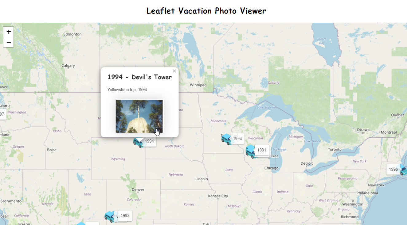
An exciting exploration into configuring, mapping, and teaching Python, the JavaScript Leaflet API, and HTML all wrapped together using the Jupyter Python Notebook. I used this data for a demo I gave at our local Duluth .NET Meetup in 2018. I collected my own Twitter data after spending a day at Valley Fair Amusement Park!
FYI...this html page was generated from a python script using the Python-Leaflet api, so yes, the code is gigantic! But it was generated and I didn't have to code it, so why not use it? Check out the full presentation and demo data.
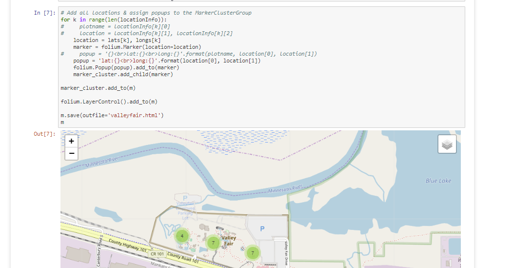
Let the tweeting begin!
World 9 Gaming Conventions: Megaman Bubbleman Style!
Inspired by the world of Megaman in the Bubbleman level, the retro gaming convention company, World 9 Gaming, has set up video game rooms for conventions across the Midwest and beyond. I created this web map using Mapbox to publish tilesets with custom icons for those Megaman enthusiasts. The classic basemaps are no longer available, but this image shows the previous version.
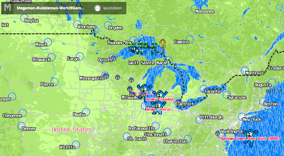
Mapbox basemaps were retired.
Duluth Community Gardens Map
An interesting experiment getting the data from the local Duluth Community Gardens. Here, I've added them to show clustered gardens. Check out their local gardens.
Click on various garden plots to zoom in and see the wider distribution of gardens.
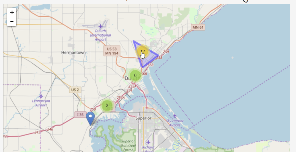
Pretty fun to see the clustering!
Pavement Patch Updater
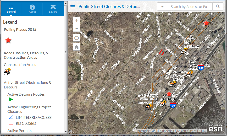
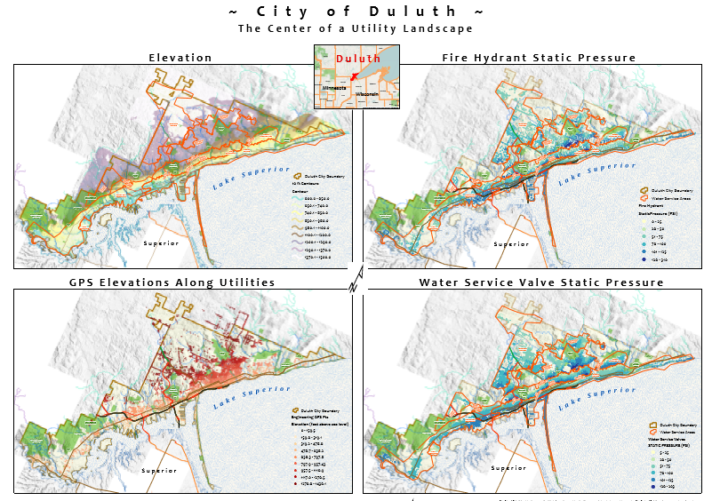
City of Duluth, Public Works & Utilities Dept. secured app for quickly searching, viewing, and updating the backend GIS database for where pavement patch sites have been restored.
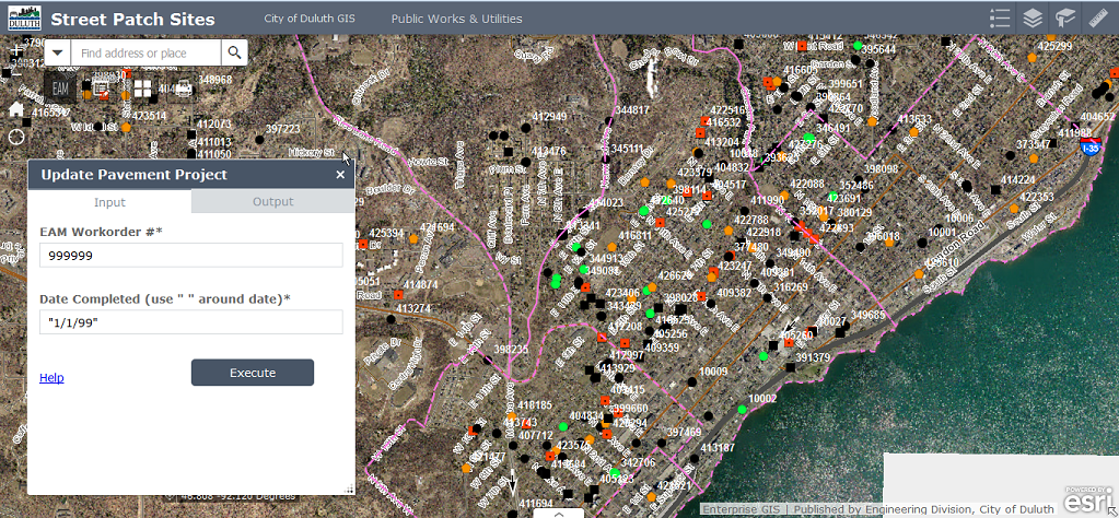
Fully responsive website. Test across any browser or device size.
Public Bad River Planning
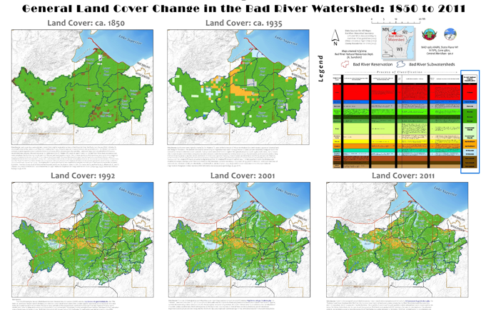
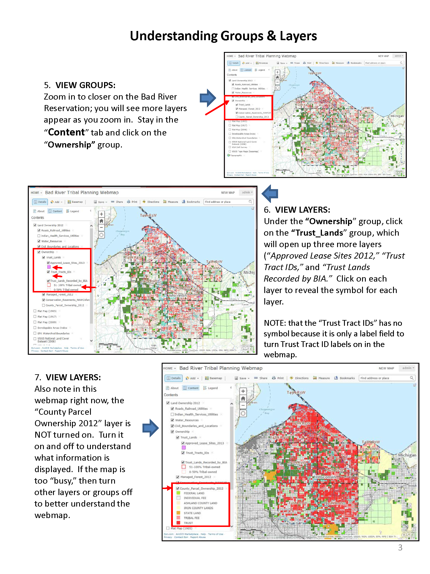
Interactive map with tools for searching public land ownership, natural resources, and other information. Tools available: search, print, toggle on/off layers, measure distance/area, and identify information.
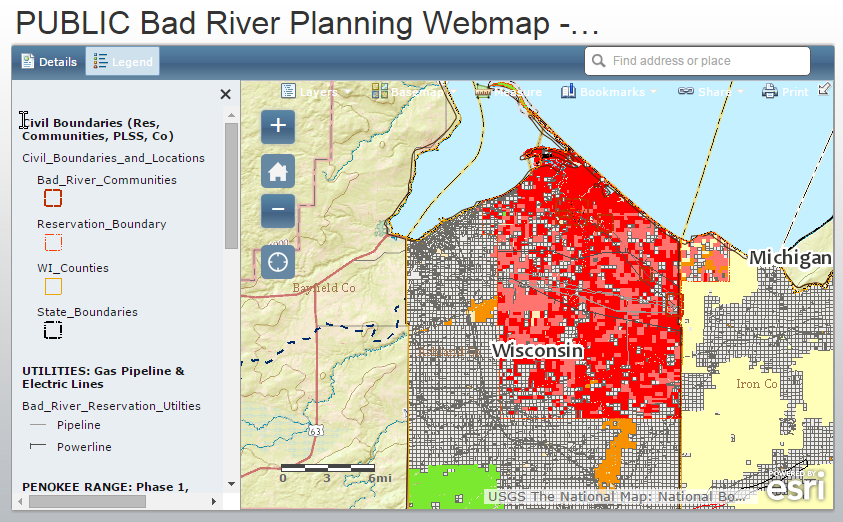
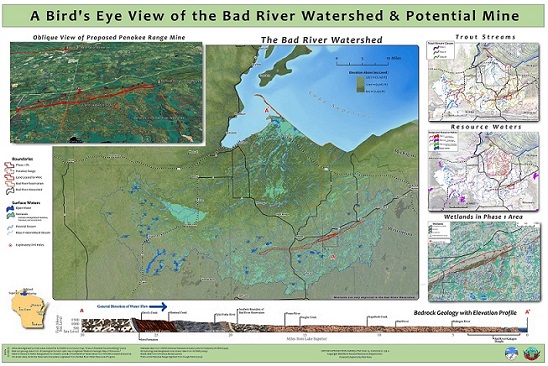
Public Bad River Watershed
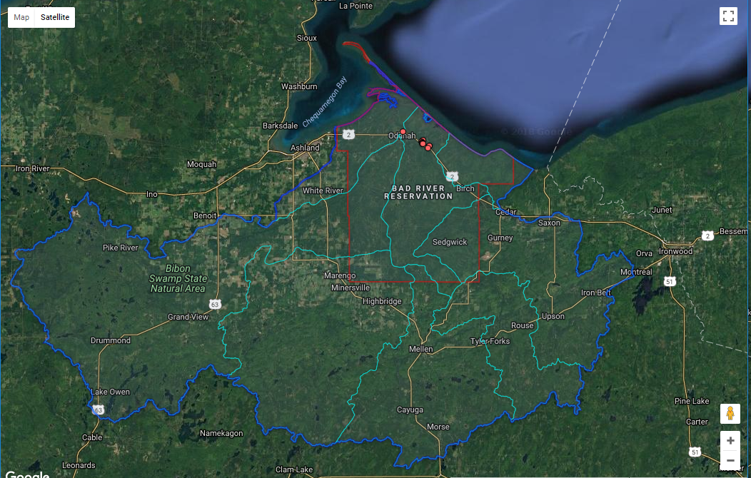
Google maps map with Terrain and Roads basemap layers with additional layers for the Bad River Reservation including: (1) Bad River Reservation Boundary and (2) Main Bad River Tribal Buildings (with contact numbers and addresses), and (3) the Bad River Watershed..
